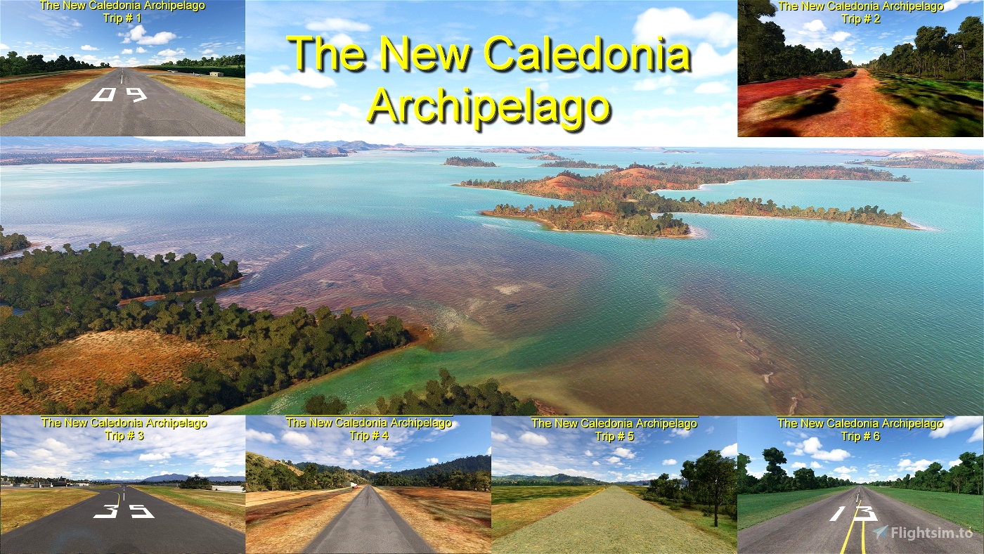
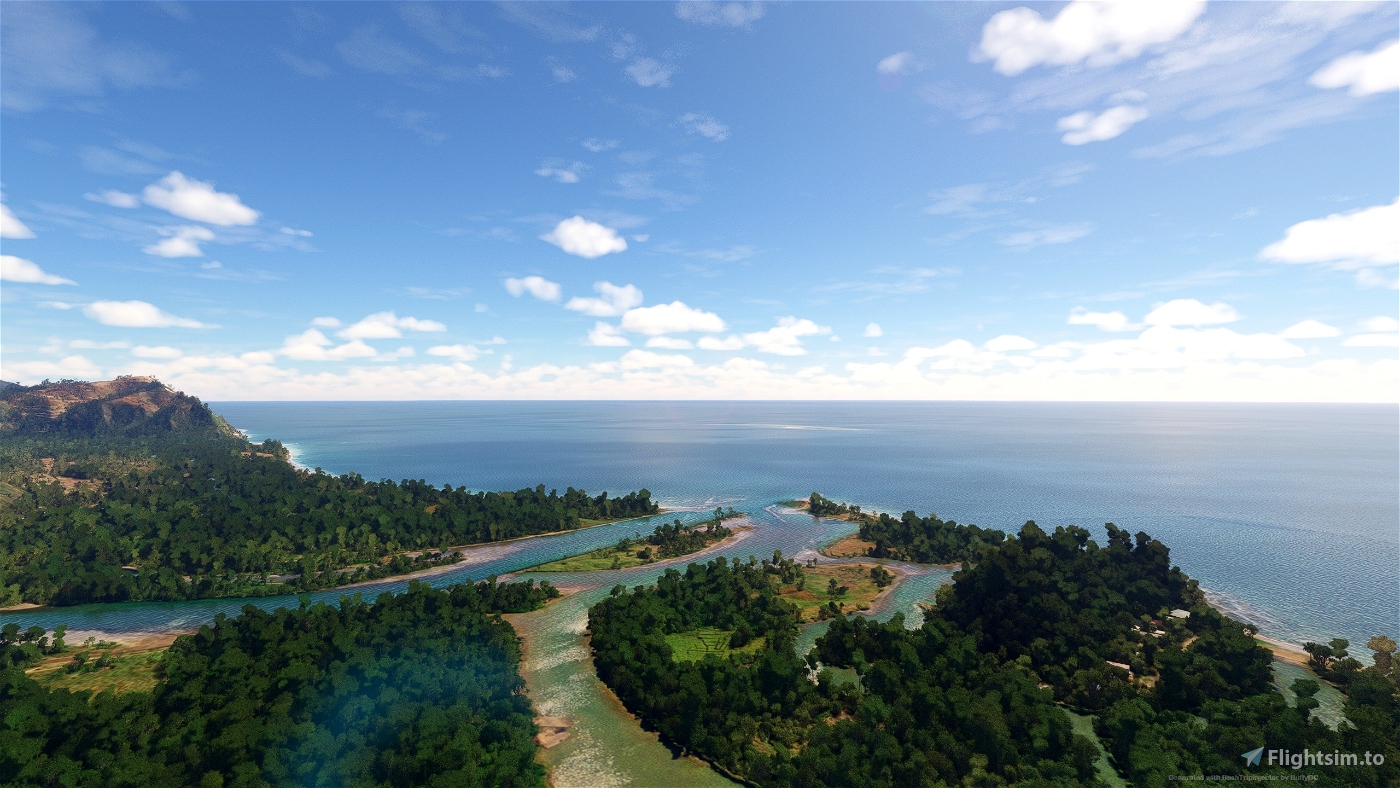
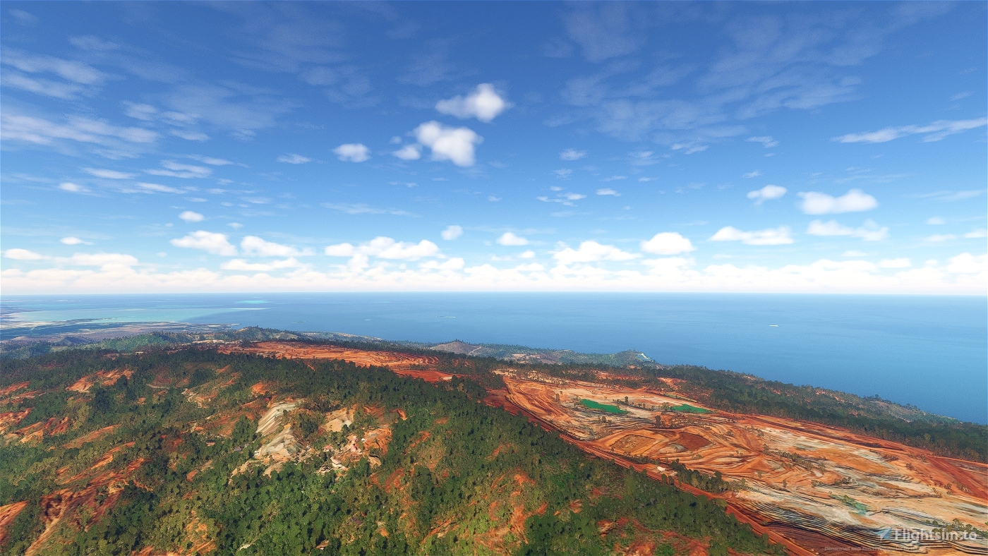
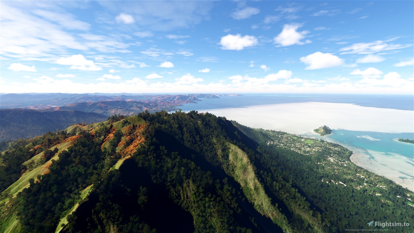
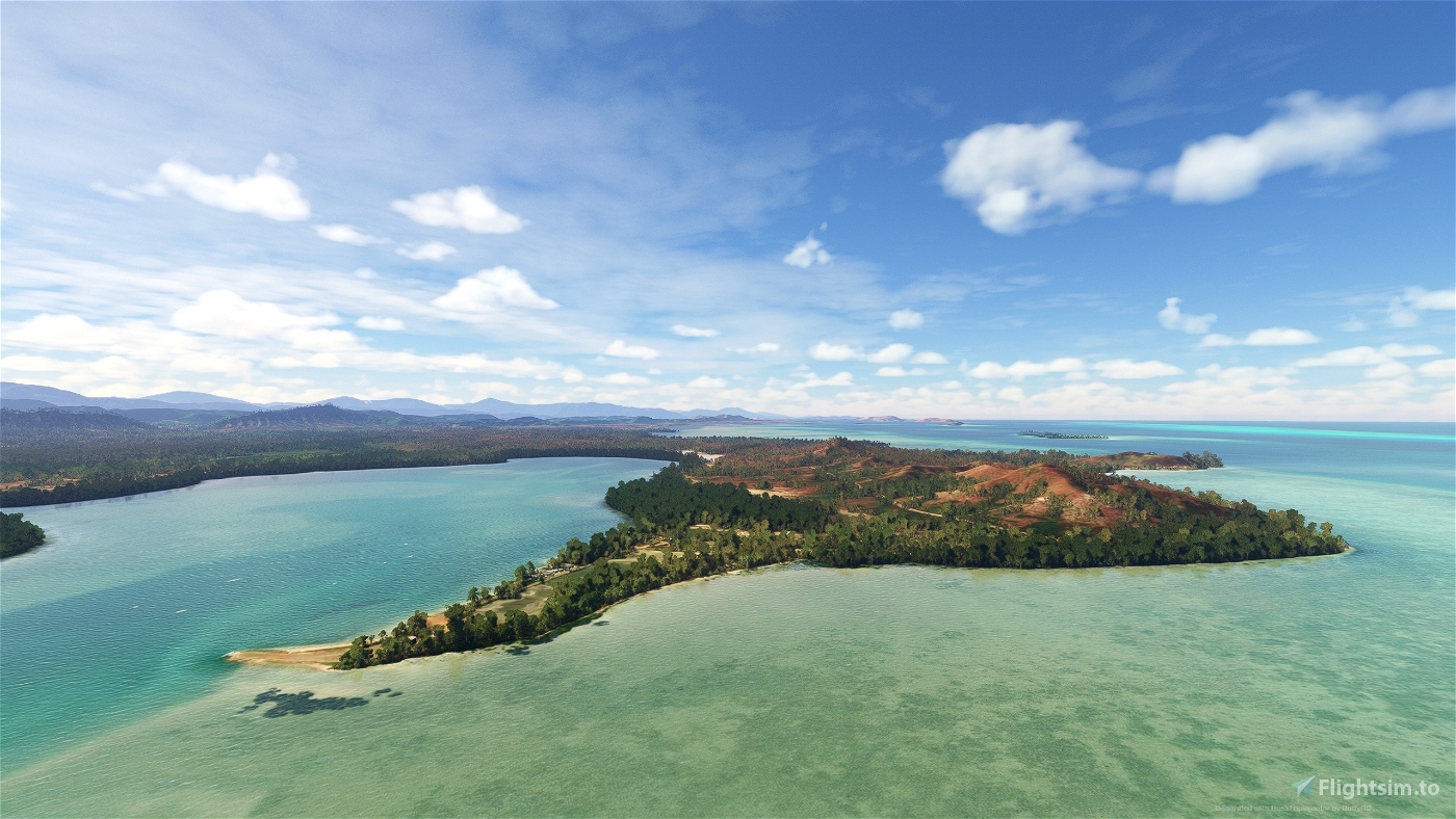
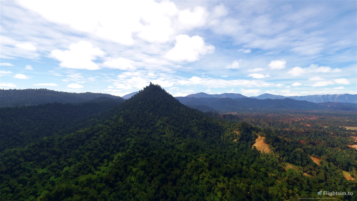
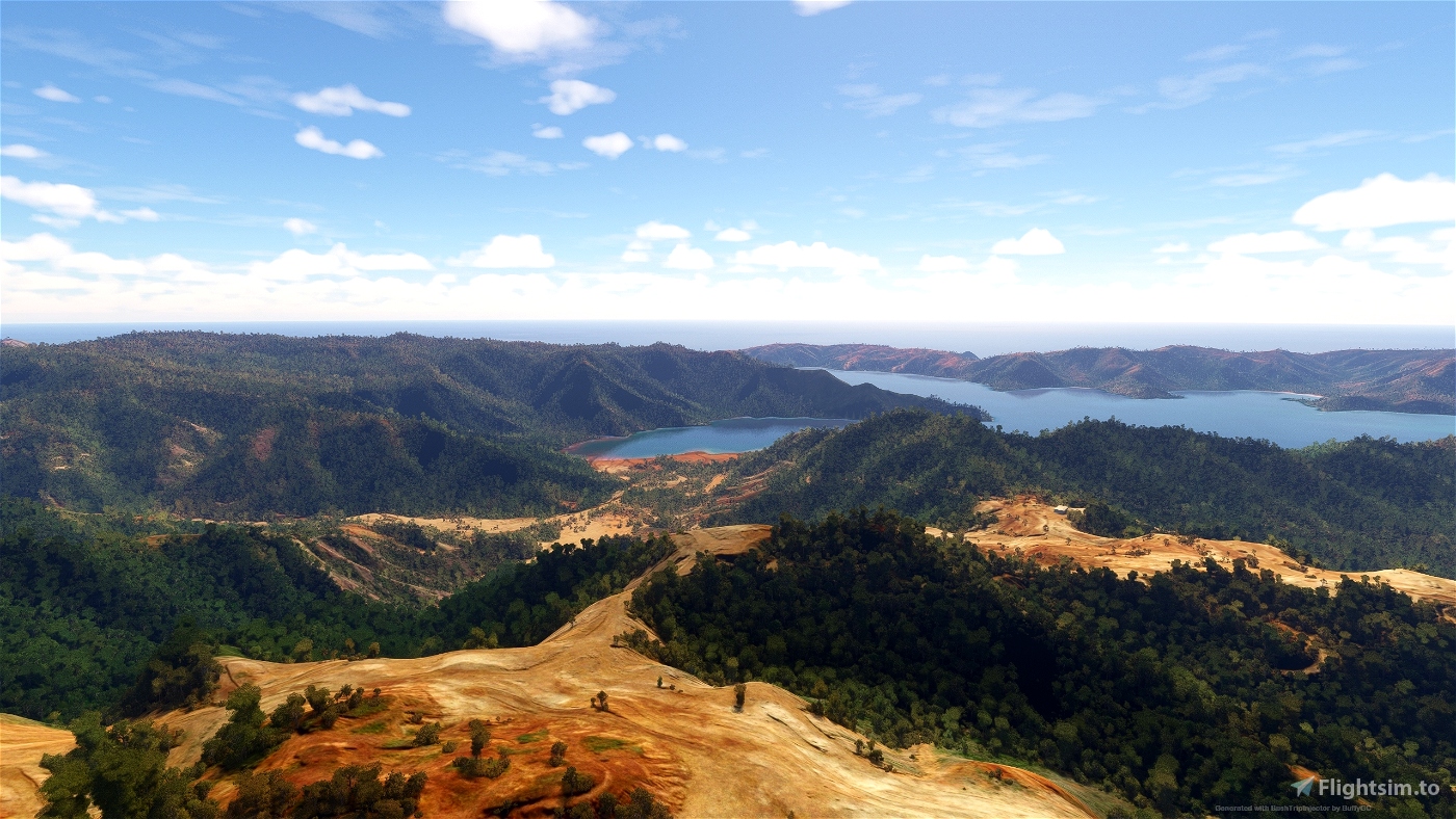
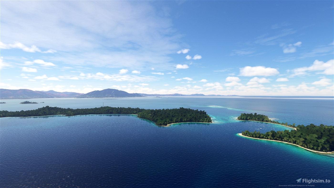
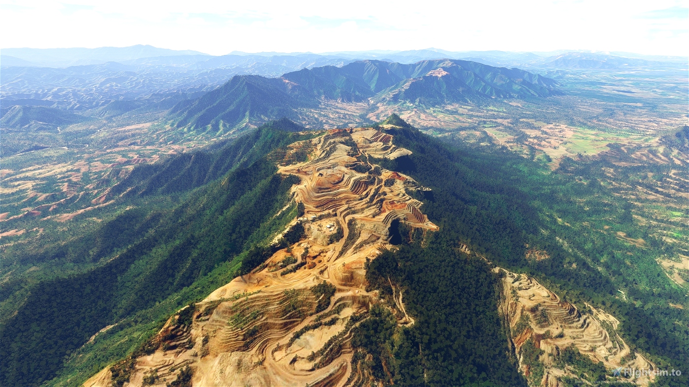
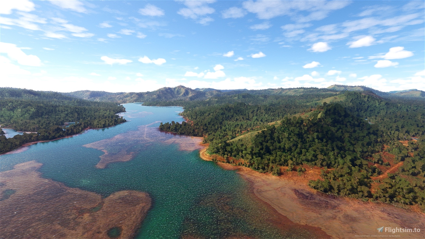
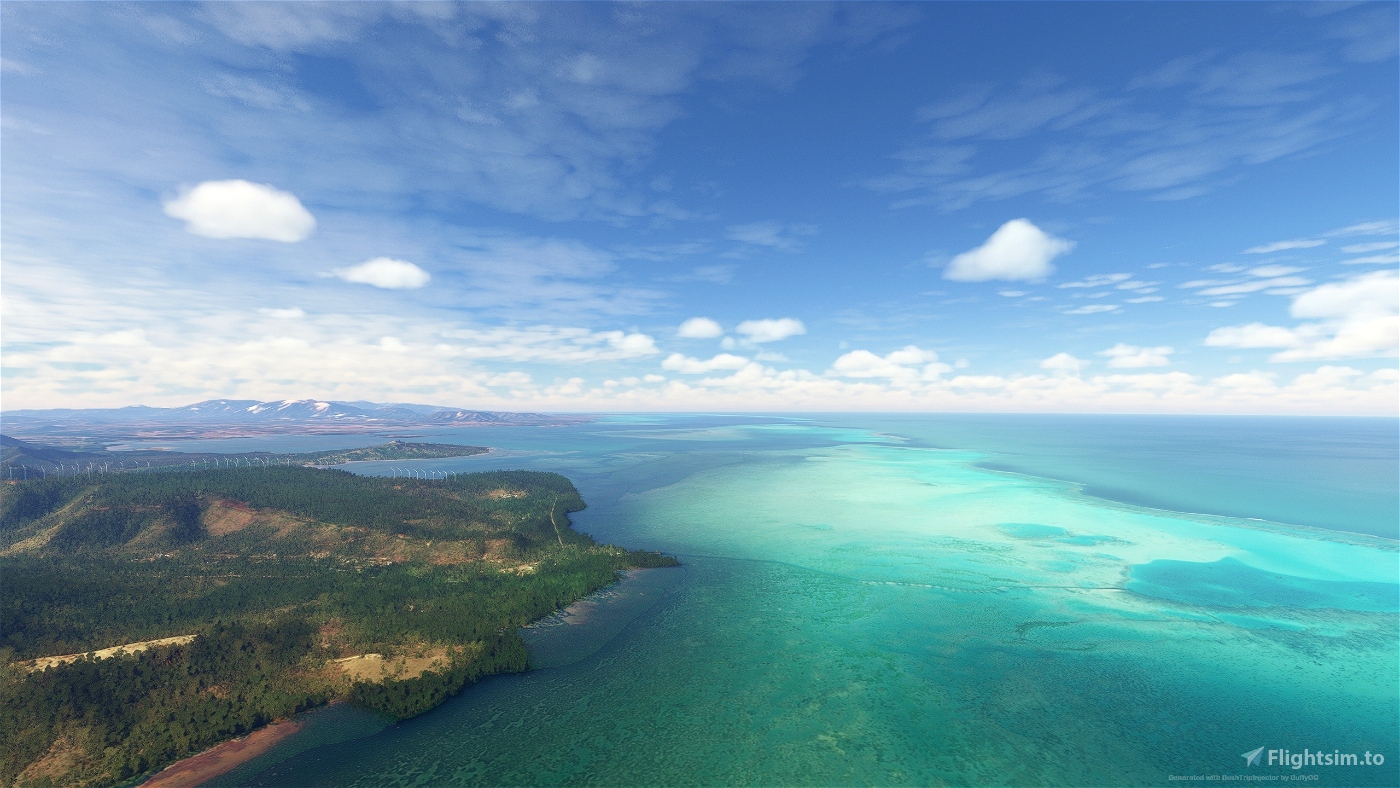
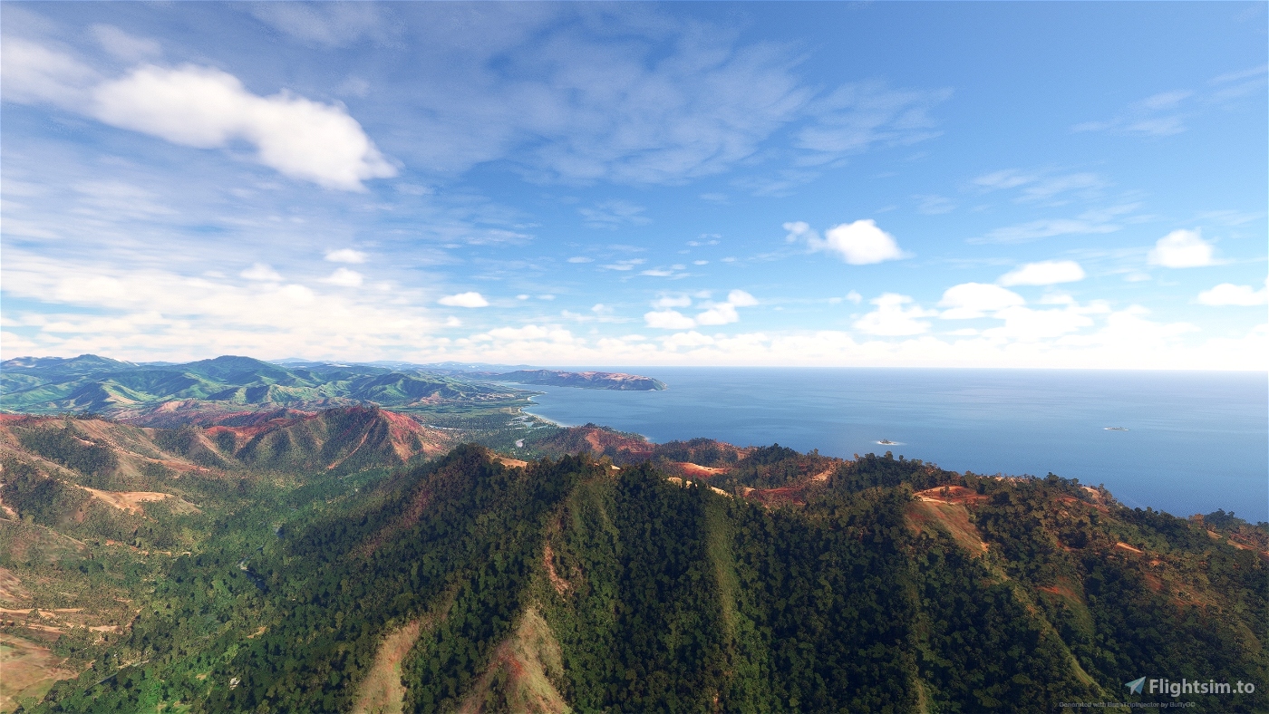
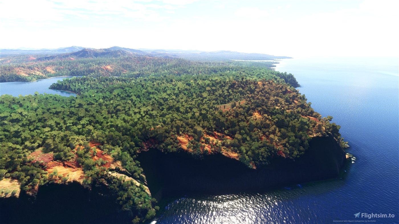
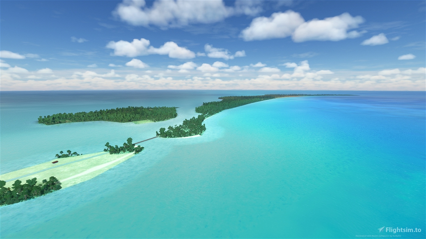
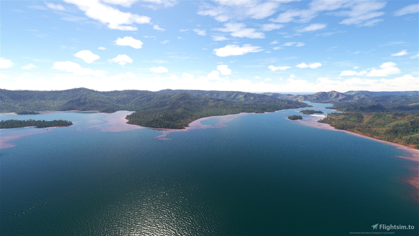
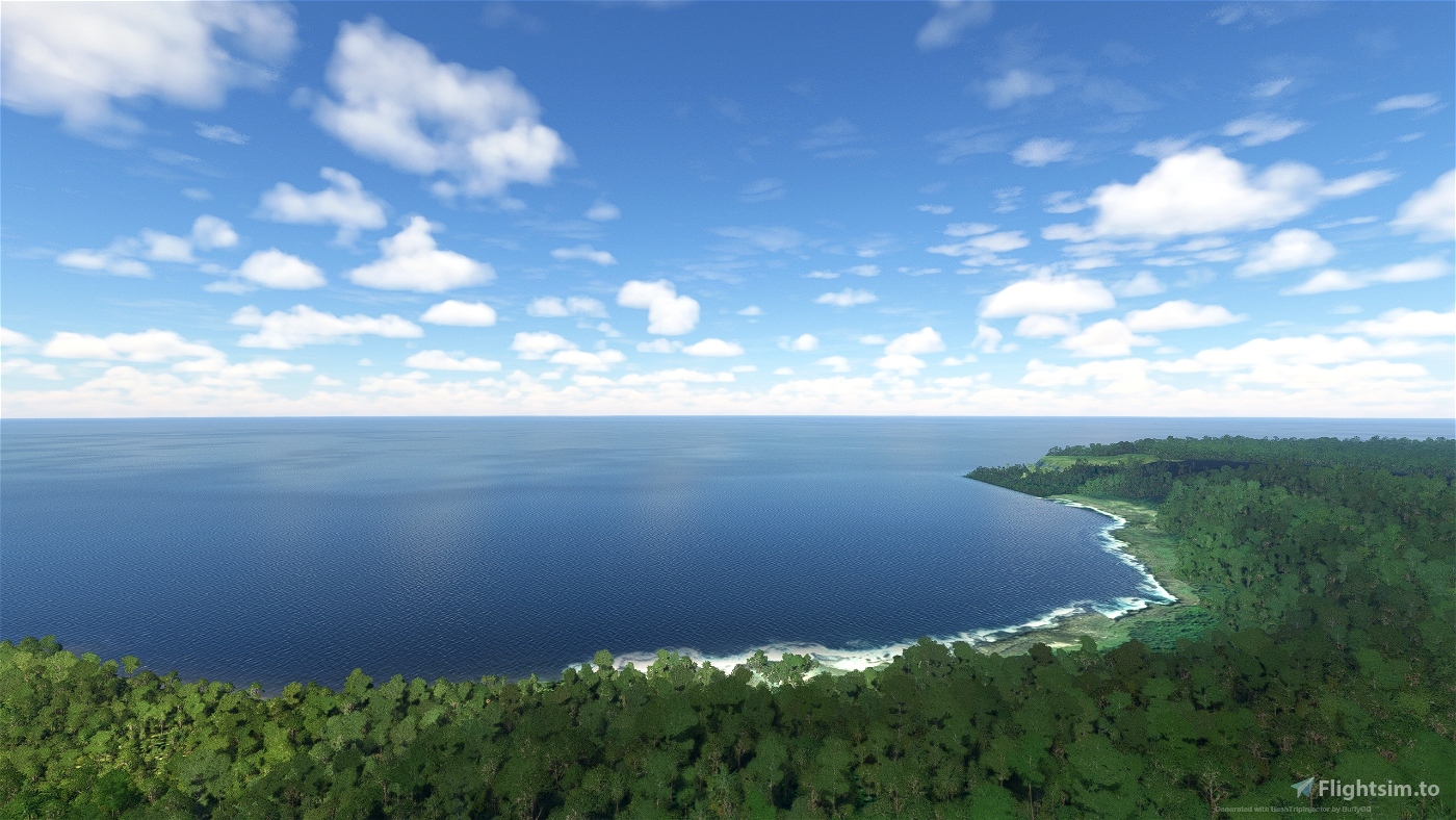
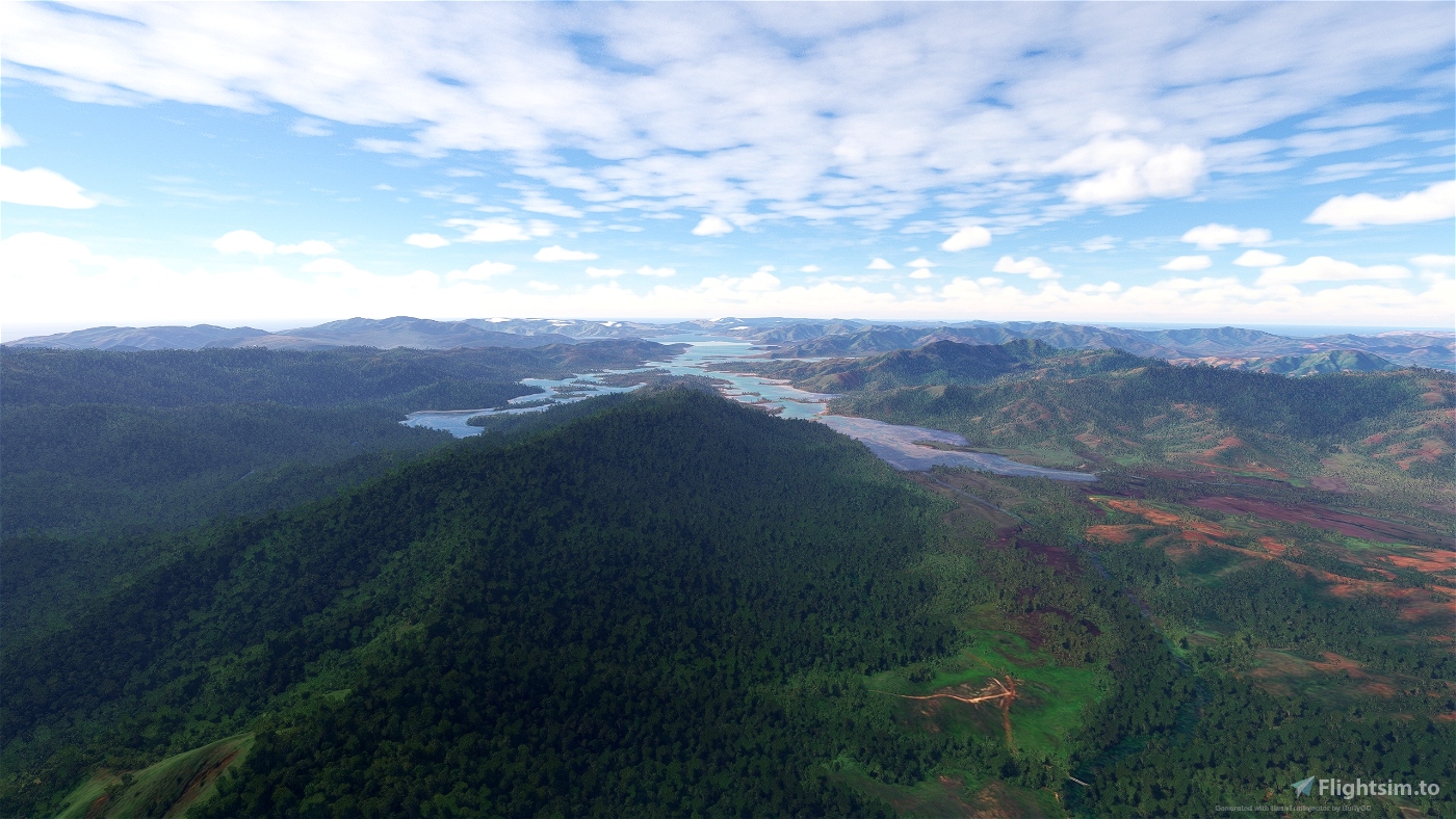
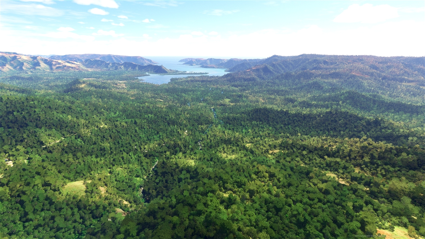

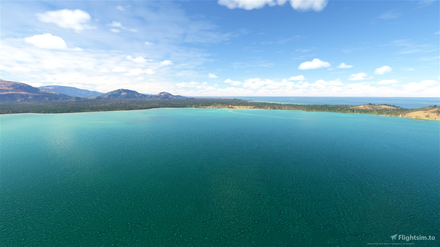
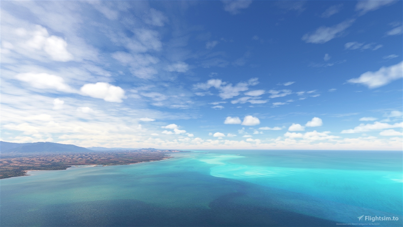
The New Caledonia Archipelago
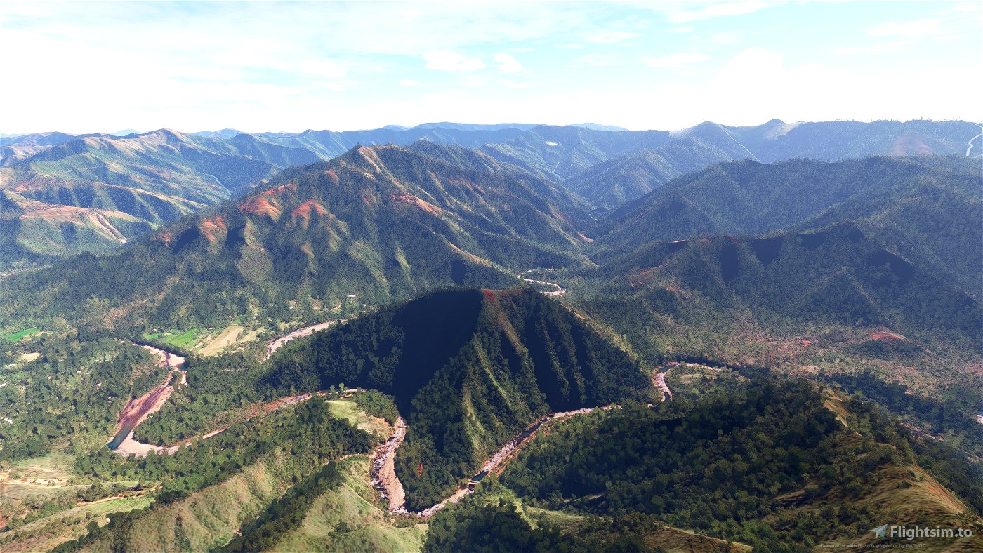
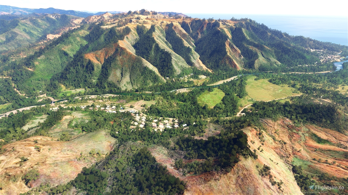
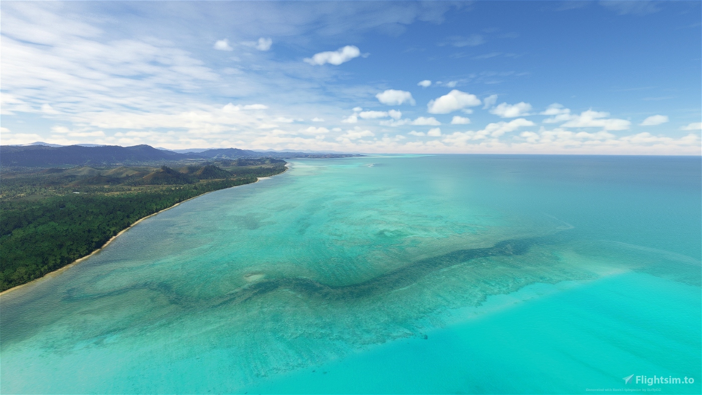
In this series of 6 bush trips we explore the New Caledonian archipelago. It is a hidden gem with idyllic deserted beaches, a wide variety of flora and fauna and picture-postcard scenery.
As the closest pacific island to Australia, New Caledonia appears on the world map as a tiny dot of land east of Australia and north of New Zealand.
New Caledonia’s main island, Grande Terre, is almost 400 km long and 50 km wide. The archipelago encompasses more than 140 different islands, the best known of which are the stunning Isle of Pines to the south and Loyalty Islands to the east: Ouvéa, Lifou, Tiga and Maré. The total surface area is 18,500 km², including the adjacent islands.
The main goal of the trips is sight seeing. The airplane is the Cessna 208B Grand Caravan with assistance settings set to easy (some of these can be changed). There are also icons that show the way to get to the waypoints and final destination.
Seven languages are included : English, French, German, Dutch, Italian, Portuguese and Spanish. The translations were made with google translate and are not linguistically corrected. They are to be taken for what they are.
Flightbooks (pdf) only in English language are included separately.
Installation :
- unzip the "The New Caledonia Archipelago.zip" file
- there are 2 folders in the unzipped file :
1) the folder "The New Caledonia Archipelago Bush trips" with 6 folders in it - put these 6 folders in your community folder
2) the folder "Flightbooks" with the flightbooks in pdf format (this folder may not be put in the community folder - place the flightbooks folder, for example, in your documents folder).
Thanks to BuffyGC for the BushTripInjector tool and to Alexander Barthel for 'Little Nav Map'.
If you want the possibility to choose the plane, the weather, the time of day and the season (and some other goodies), then you should take a look at the experimental program - MissionChanger - (also created by BuffyGC).

 oldmattila


1 months ago
1 months ago
oldmattila
skymaster777x