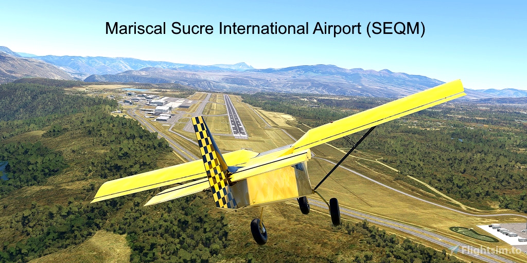
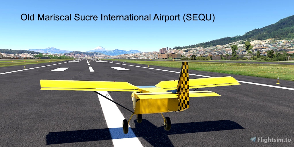
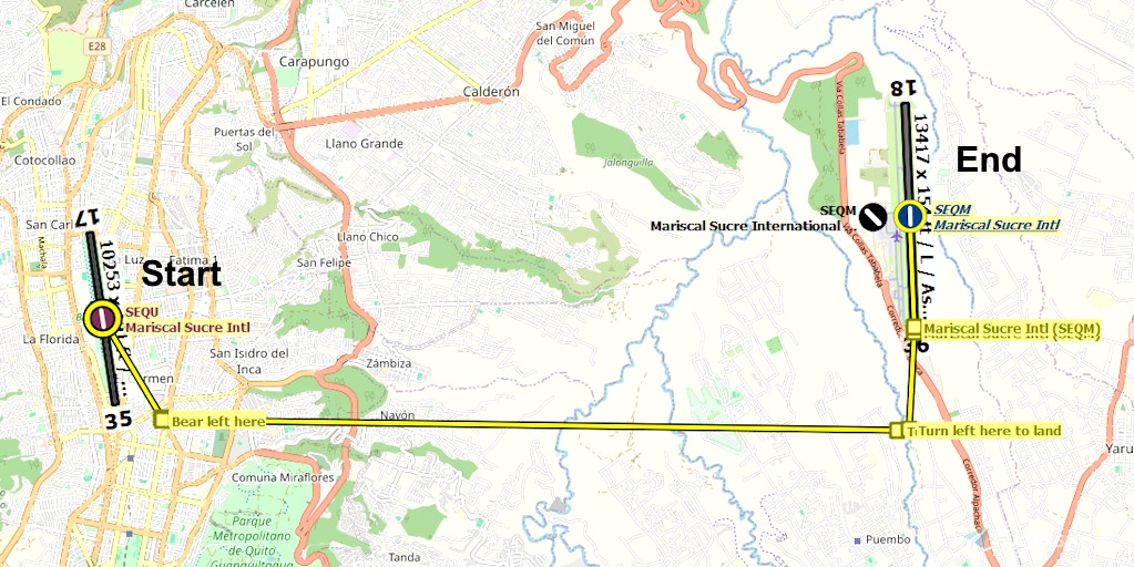
This flight plan departs Mariscal Sucre International Airport and arrives at the other Mariscal Sucre International Airport. Mariscal Sucre International Airport (SEQM) is the busiest airport in Ecuador. It is located 11 miles east of Quito. It replaced the old Mariscal Sucre International Airport (SEQU) in 2013 because the old airport was located in the center of the city, could no longer be expanded, and was deemed unsafe because of its history of incidents and accidents.
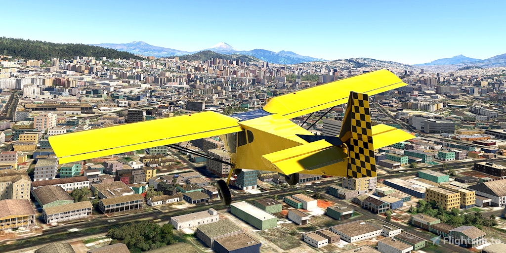
At nearly 10,000 feet, this is a high-altitude flight for ultralights.
Runway that departs in the direction of the flight plan: 17
Distance: 11 nautical miles
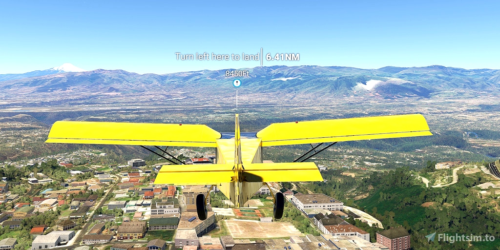
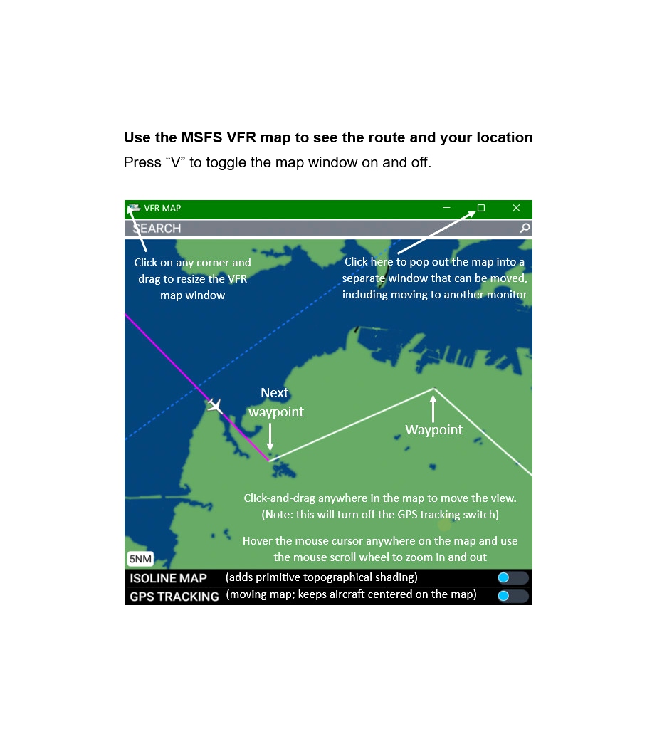
No navigation or GPS instruments are required; simply follow the on-screen markers.
Do not engage the copilot or autopilot. They may alter or suppress waypoints.
MSFS settings for the best experience with this flight plan: Options > Assistance Options >
- Piloting > AI Radio Communications (ATC) > Off (required to properly display the waypoints)
- Navigation Aids > Route and Waypoints > On
- Points of Interest > Landmark Markers > On
- Points of Interest > City Markers = Off (optional - declutters the screen)
- Points of Interest > Display Direction to Chosen POI > Off (disables confusing destination marker during flight)
- Points of Interest > Display All Labels > Off
- User Experience > ATC Enforce Flight Plan > On (prevent current conditions from overriding selected runway number)
How to Use This Flight Plan
- Unzip the downloaded file into any folder.
- The flight plan is the file that has the “ .pln ” filename extension.
- MSFS > Welcome tab > World Map > Press Spacebar twice (More > Load) > Load From ...
- Navigate to where you saved the flight plan and select it.
- In the "From" airport, select the departure runway (provided in this description, above).
- Click on the Flight Conditions window at the top right to adjust time and month.
- Click on "Fly" at the bottom right of the screen.

 FederFlyer

