ETM10 Enhanced Terrain Mesh 10m for Formosa Island (Taiwan), Penghu Islands (or Pescadores Islands) and Orchid Island - version 1.0
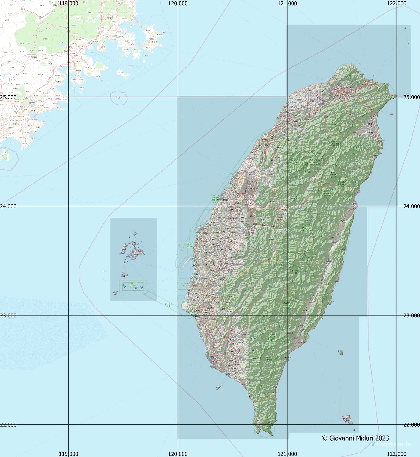
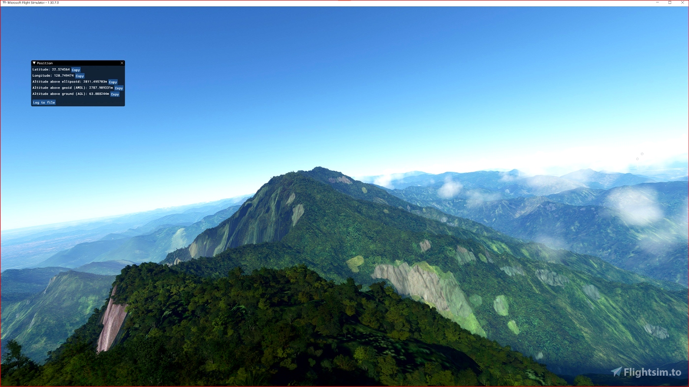
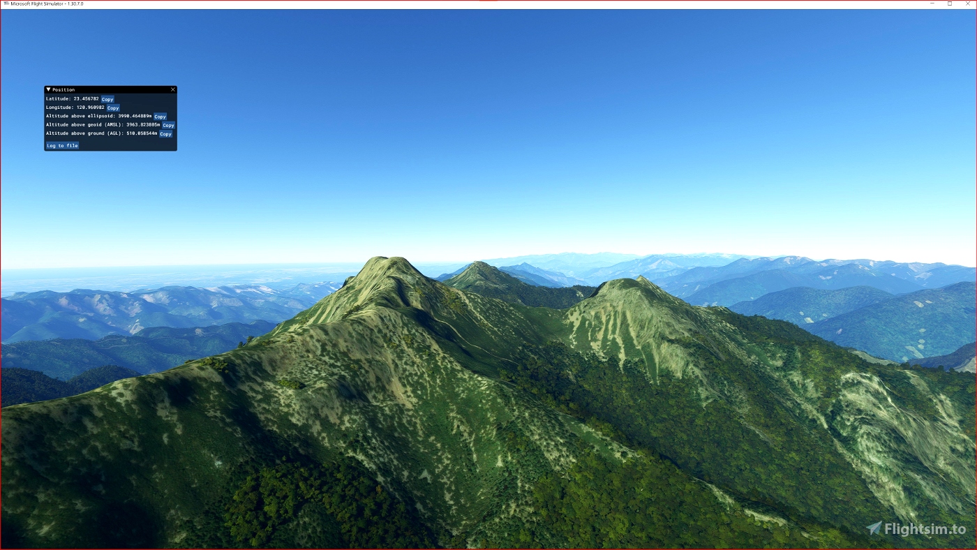
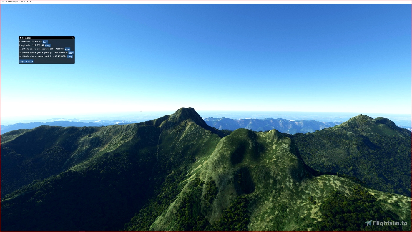
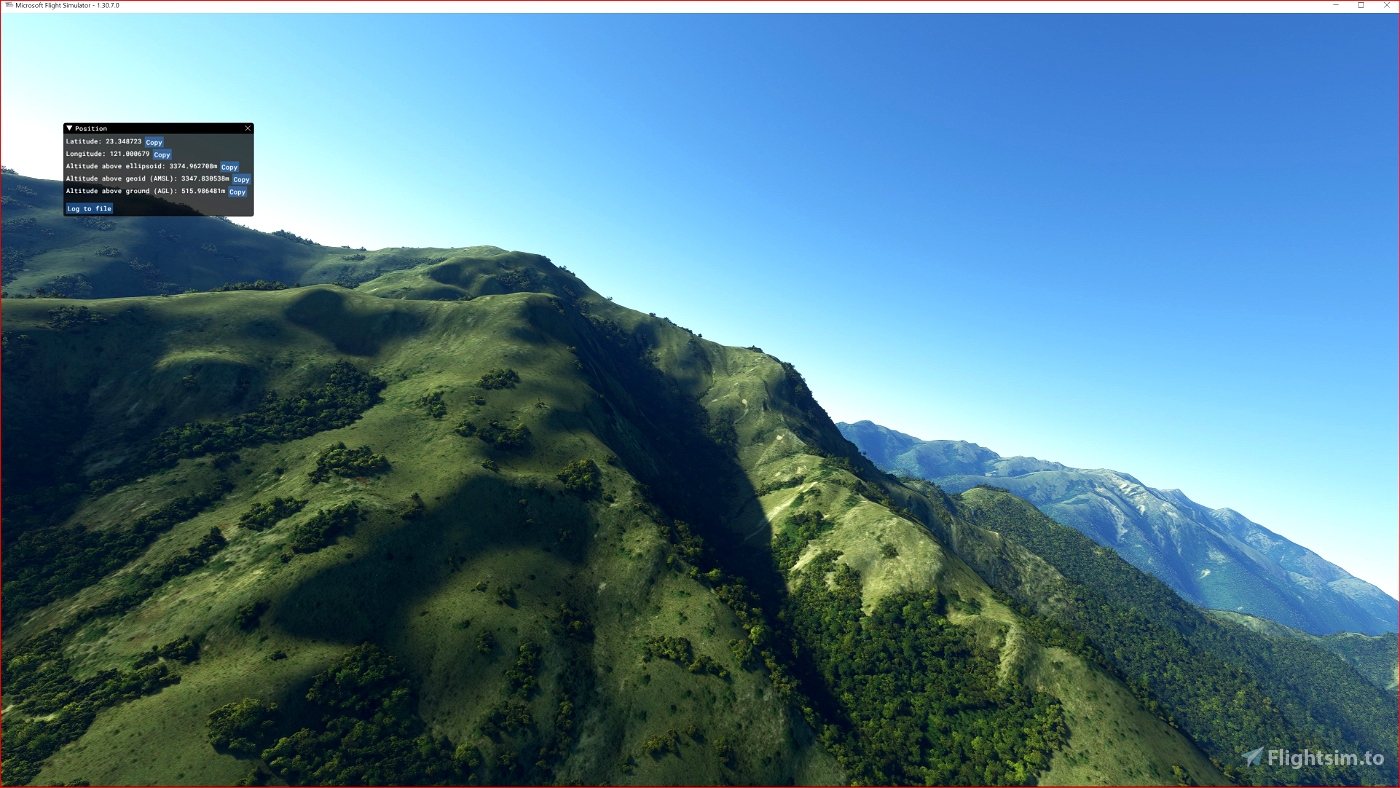
This is an Enhanced Terrain Mesh derived from Sentinel-1A mission of the European Radar Observatory for the Copernicus joint initiative of the European Commission (EC) and the European Space Agency (ESA), 1/3 arc sec (10 meters). Mainly the area covered by this terrain mesh is related to the region of ... see coverage map.
Affected Sceneries
Any large Payware and Freeware Airport I could think of, has been excluded from the mesh. So hopefully the glitches will be minimal.
Please report any bugs with sceneries or airports and I will see what I can do!
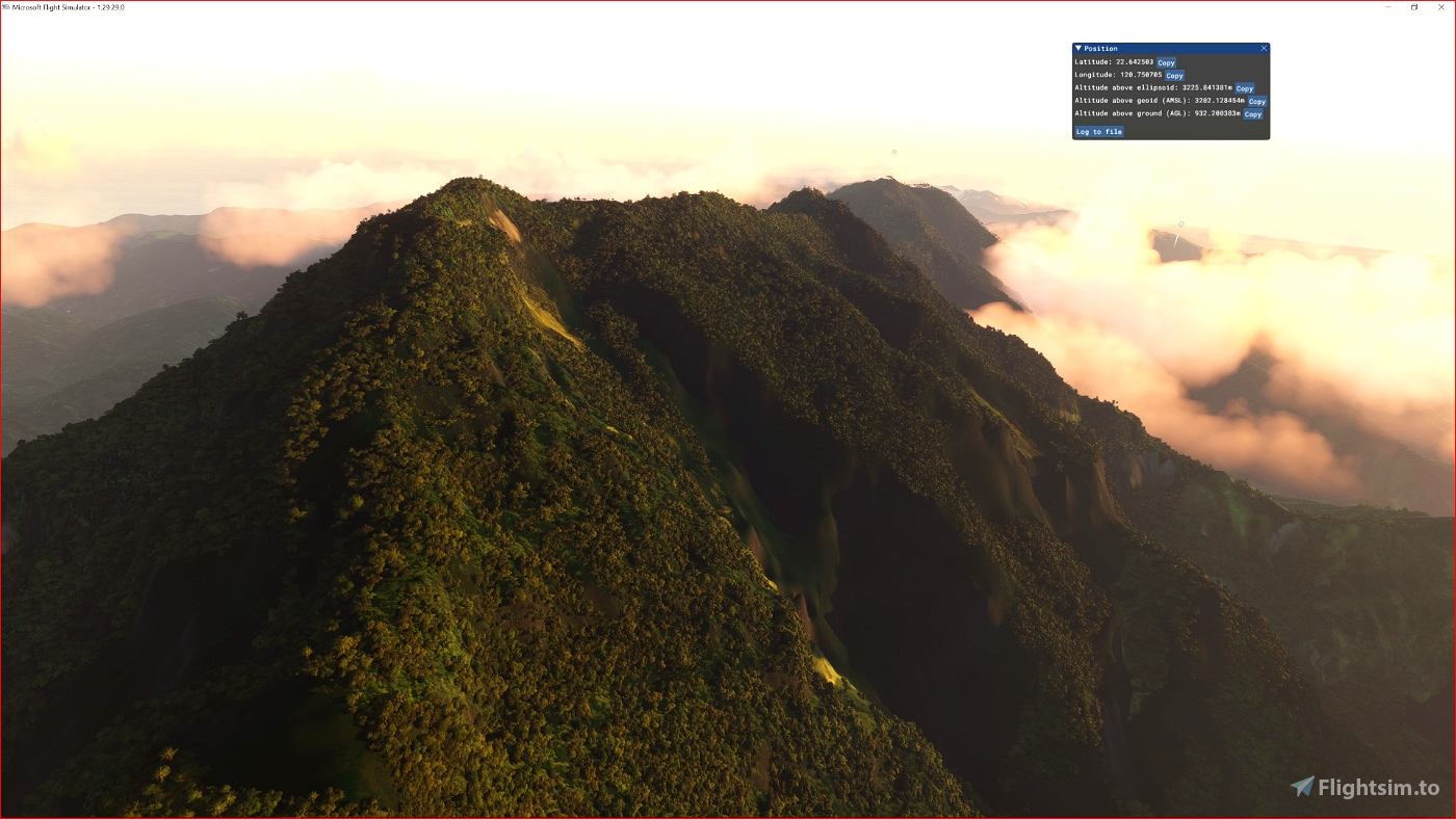
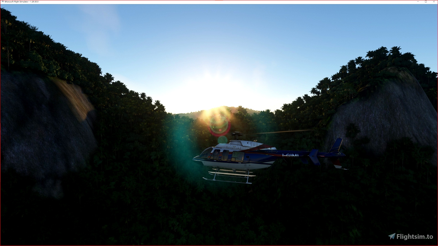
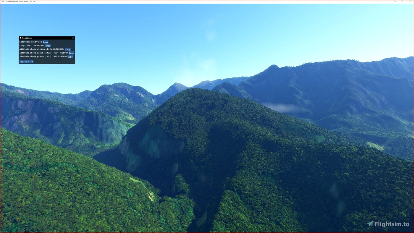
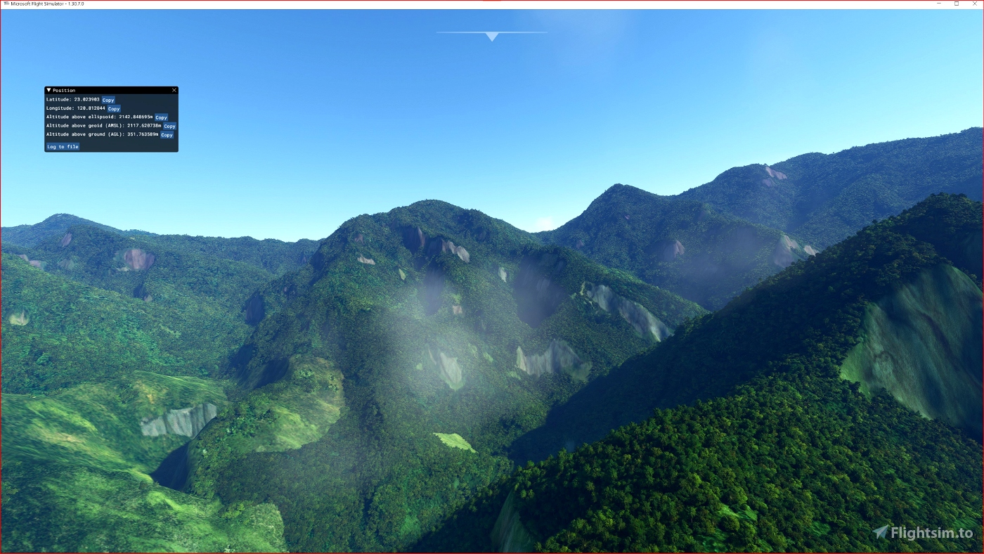
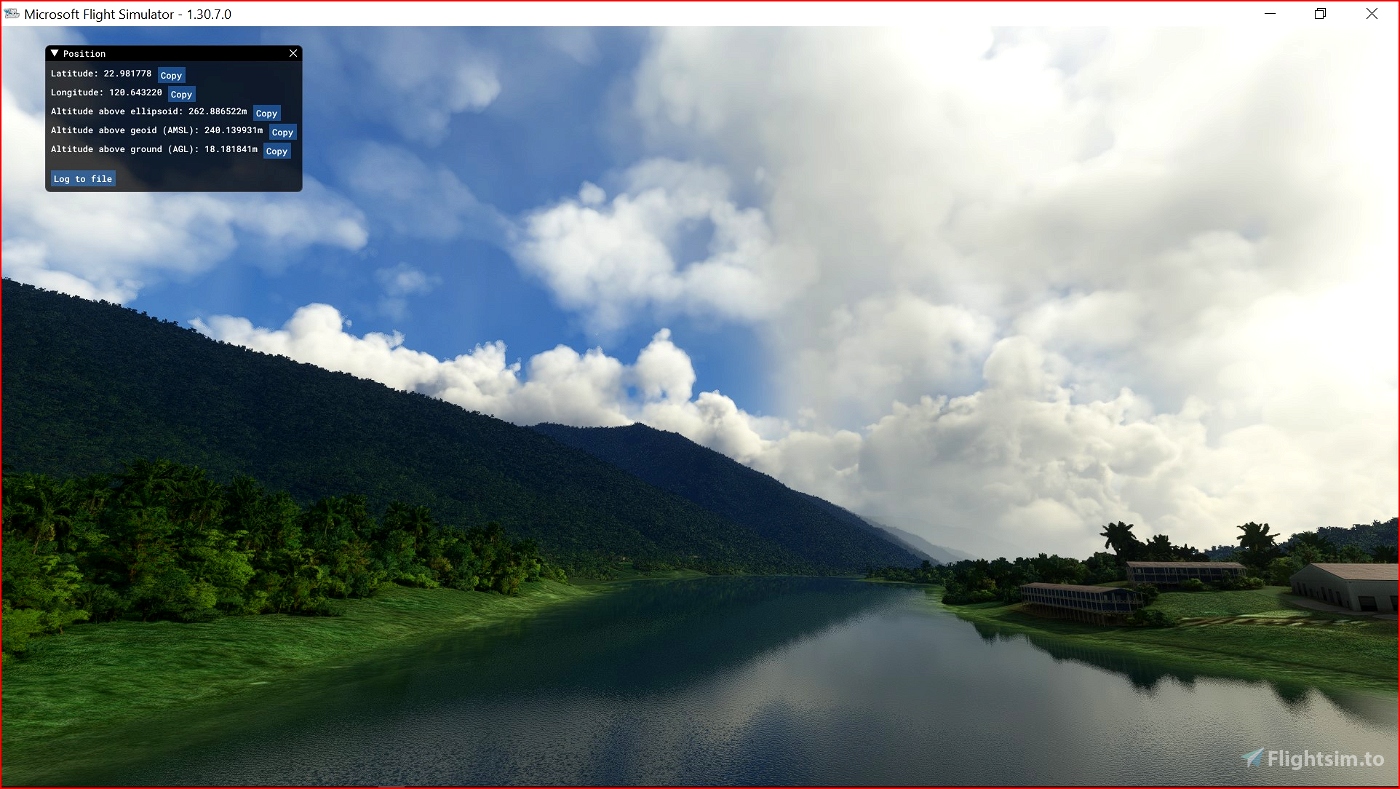
From this terrain mesh I went to correct most of the water bodies (lakes, reservoirs over a specific surface). Another novelty can be done by going to fly in the valley that leads to the district of Liugui (municipality of Kaohsiung).
Created using MSFS Toolkit by Nool Aerosystems.
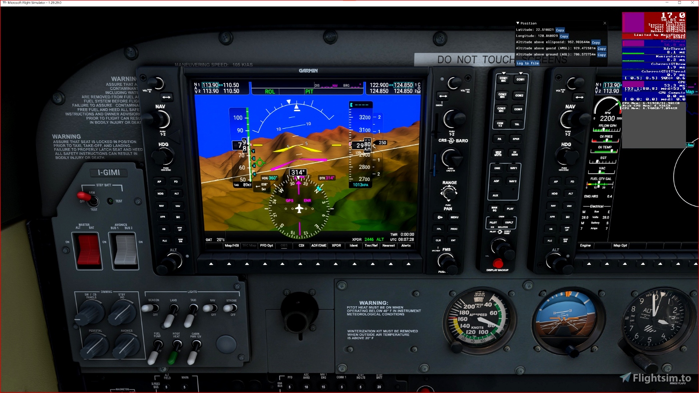
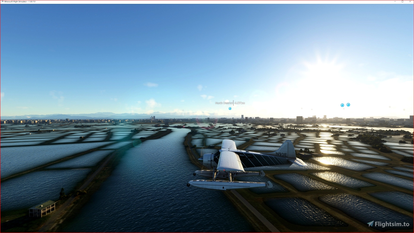
Enjoy your VFR flights above the Formosa Island. For better enjoy your VFR, the recommended flight altitude should not be above 500ft AGL.
On Discord: Gjanosh61#9850
Please don’t feel as though you have to, but if you wanted to buy us and the team a coffee to support the work. Thank you very much.
Feel free to buy me a coffee!

 Gjanosh61


I just did a flight from Matsu to Taipei Songshan and what a great job! Thanks!
One issue though. ACO Design Studio sceneries (Taipei Songshan and Kaohsiung) also contain landmarks in the respective cities. Would it be possible to add downtown Taipei and Kaohsiung to the exclusion zones? Currently with your mesh the cities are a lot bumpier and some of those landmarks tend to float etc.
12 months ago
Thank you for appreciation. Of course it is possible to make an exclusion but since I don't have those scenarios installed, I have no idea where they are, I should exclude very large areas ... does that seem right to you?
If you give me a reference I can make something customized for you ... without rushing.
12 months ago
Gjanosh61
ironlemon