
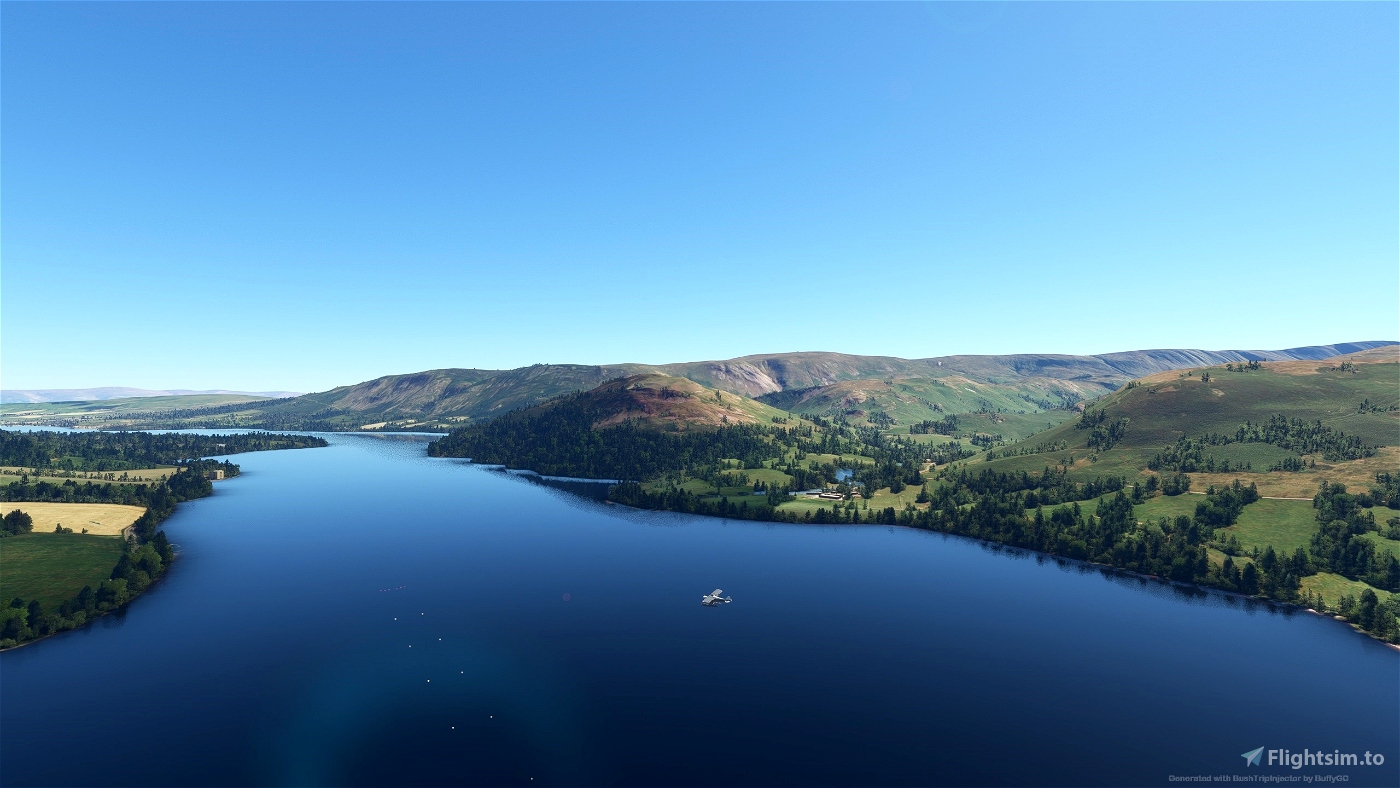
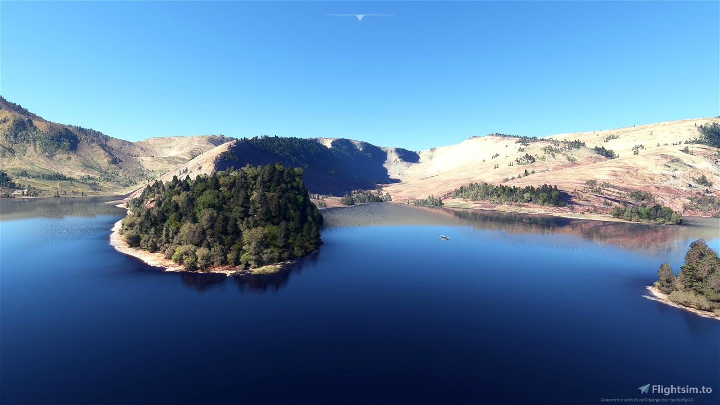
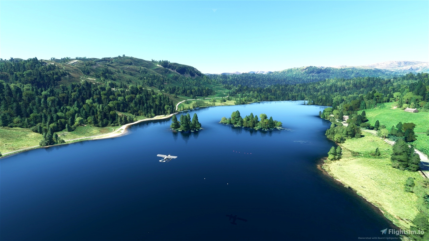
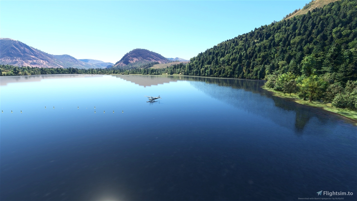
Take to the air above the English Lake District for a picturesque tour of the English mountains. It is the home of English mountaineering. We make short hops between the main lakes and visit many of the smaller ones. Hope you have your waterproofs as we are likely to get wet as we will be landing on some of the lakes. I have created unofficial waterparks where we will alight on the water. The National Park authorities would certainly disapprove of our visit. The English Lake District is not called that for nothing it has many lakes, ponds, meres and tarns which may be something to do with the weather. However the forecast is good and we have a great day ahead so let's get on with the sightseeing.
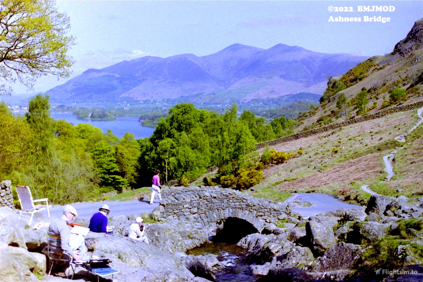
I have added some of my own photos for interest.
The trip has 15 legs but is only 129nm long and the legs are short, but if you take your time it will last take a few hours. Make sure you have a good look round. We have an early start to avoid the crowds, it gives you a little time for sightseeing.
Autopilot in Nav Mode may be useful. Pop out the MFD as a separate window to show the Map (Right Alt and LM click).
Make sure you have your map handy (LittleNavMap is my preferred guide).
Installation:
Unpack the included folder from the package into the community folder. Restart the simulator.
Add-ons:
There may be add-ons available, however other than the GARMIN G1000 NXI I did not use any during this trip.
You may wish to use MSFS 2020 Google Map replacement (https://flightsim.to/file/19345/msfs-2020-google-map-replacement) by derekhe as it enhances the scenery.
Notes:
I have enabled Weather and ATC.
After you have completed each leg, I suggest taking copies of the save file:
\Users\*\AppData\Local\Packages\Microsoft.FlightSimulator_8wekyb3d8bbwe\LocalState\MISSIONS\ACTIVITIES
So that it can be restored if you encounter difficulties. You can then restart from that point if necessary
Credits:
Thanks to BushTripInjector by BuffyGC
Thanks to LittleNavMap by Alexander Barthel
Wikipedia
Google
Ordnance Survey (https://explore.osmaps.com/)
I give links to other sources - (Visit at your our risk I take no responsibility for external content):
https://www.lakedistrict.gov.uk/
https://www.visitcumbria.com/
http://www.bridge-hotel.com/
https://www.wmrt.org.uk/advice/accident-black-spots/scafell-broad-stand/
https://ullswaterway.wordpress.com/2017/12/14/formation-of-the-lake-district-landscape-geology-climate-and-humans/

 bmjmod


Thank you for all these nice tours.
1 years ago
fStopper
Well this one is quite fun and a little different .
But this MSFS 2020 is sure stupid and hard to understand .
I have about 7 done and in pretty well everyone I have touched down in the center of the cones. When I look at my log book it tells me I have landed at the airport ok , but only in the vicinity .
Now the last one I had a hard time seeing the cones but landed and taxied around till I found the runway (cones) . Touched down about 1000 ft outside of cones . But now logbook says I landed at airport ok . But DOESN'T say vicinity .
Anyone explain that?
2 years ago
Hmmm. Don't know! I tried first couple of legs again and landed away from the cones and taxied onto them. End of leg (EOL) was triggered and next leg started. I went to profile and log said I had landed (didn't say vicinity). Next couple of legs I landed near but stayed outside the cones and triggered EOL. The log recorded it but again didn't say vicinity. I can see that in previous trips it did have some landings in the vicinity of the airfield but don't know why it says that when obviously End of Leg is triggered. Then after I engaged DEV mode to see where the trigger areas were it stopped logging my landings anyway! I guess it is just one of those things with MSFS!
2 years ago
bmjmod
sparky147
J'adore !
Very pleasant to fly, very pleasant to dicover landsacpes, and very pleasant to fly with this kind of aircraft ... a little bit difficult to pilot
2 years ago
Bil3131