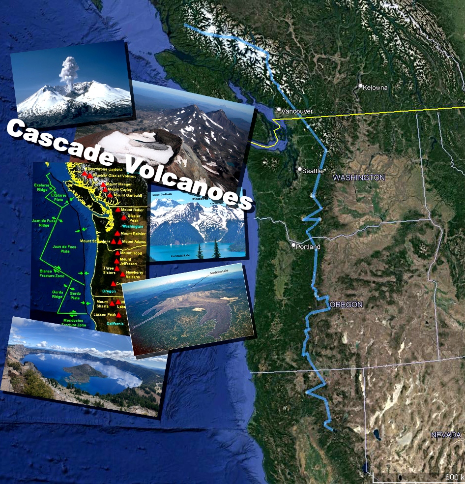
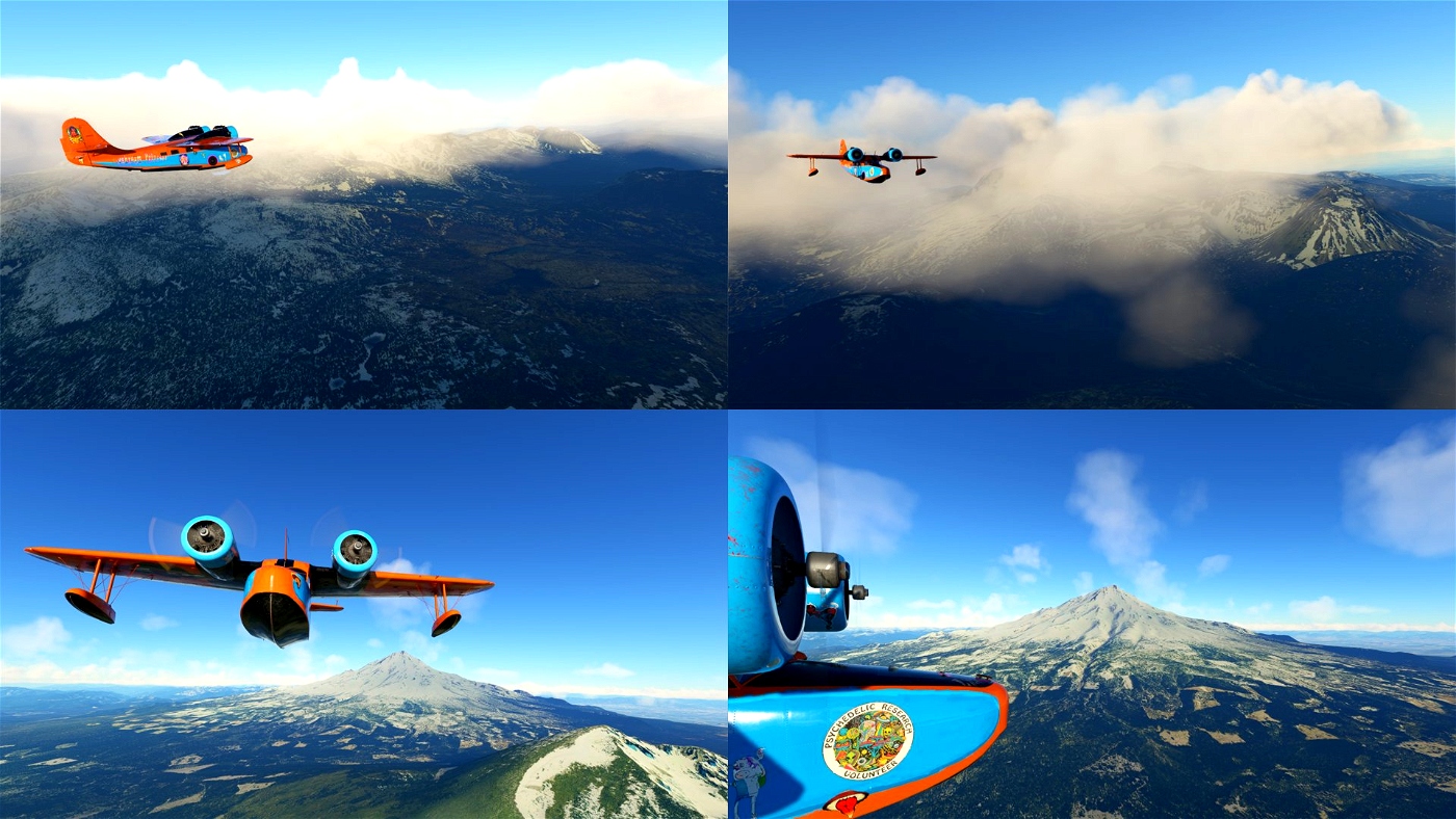
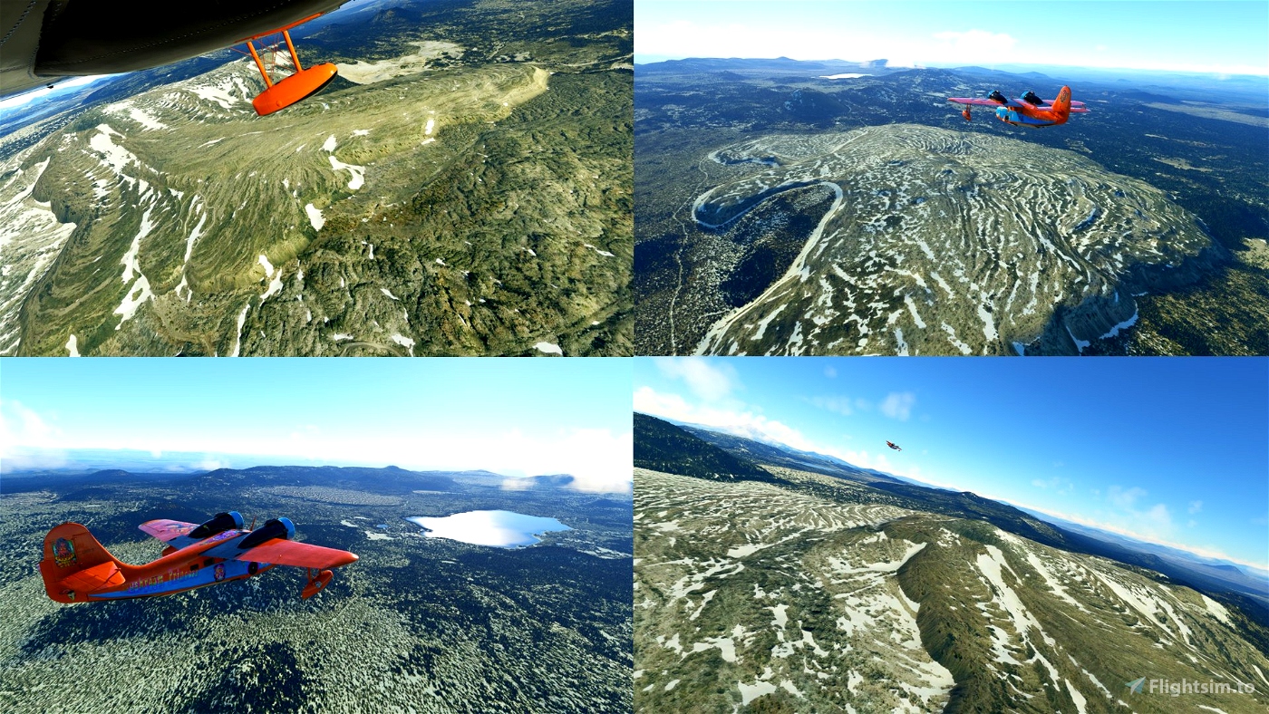
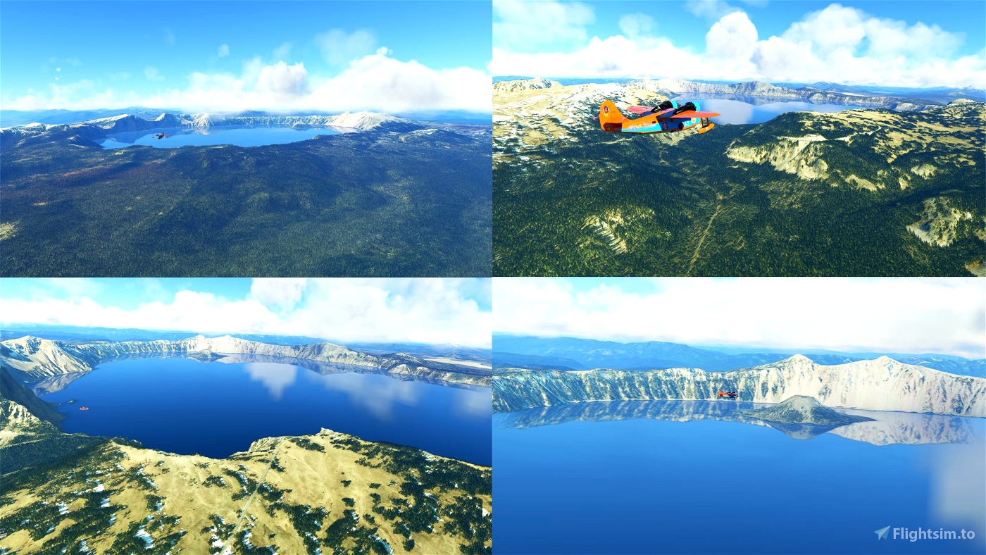
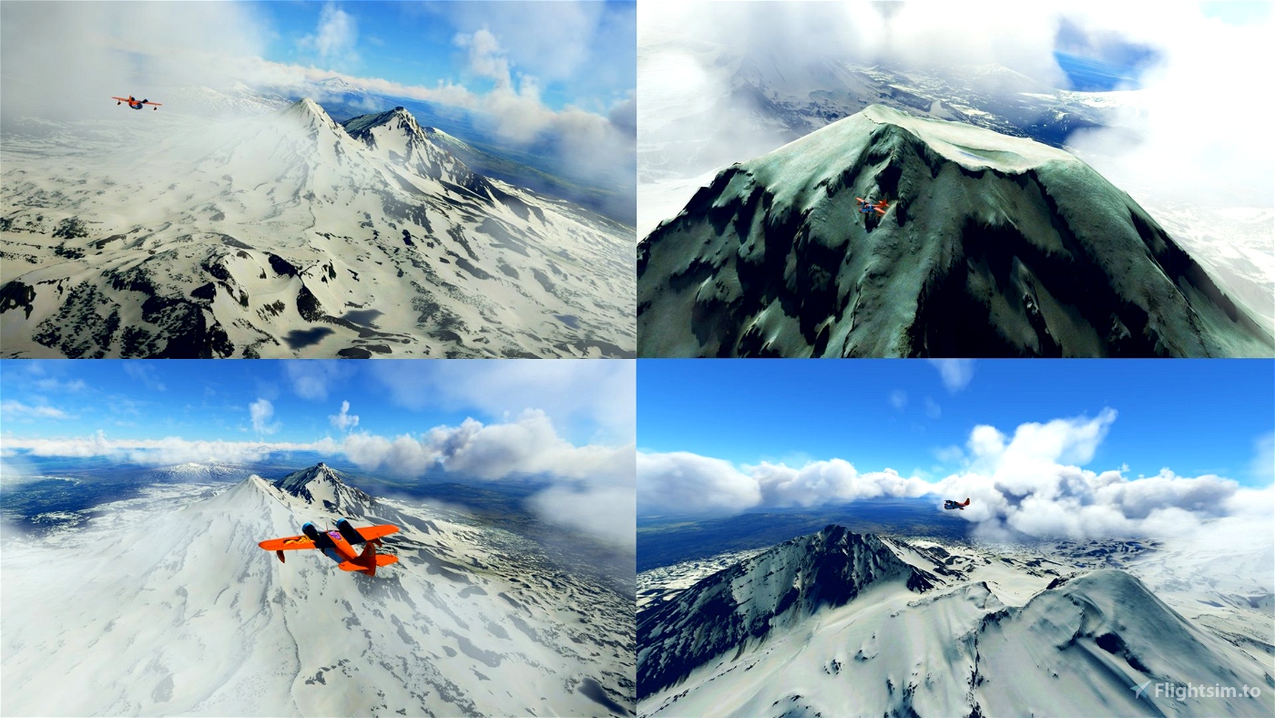
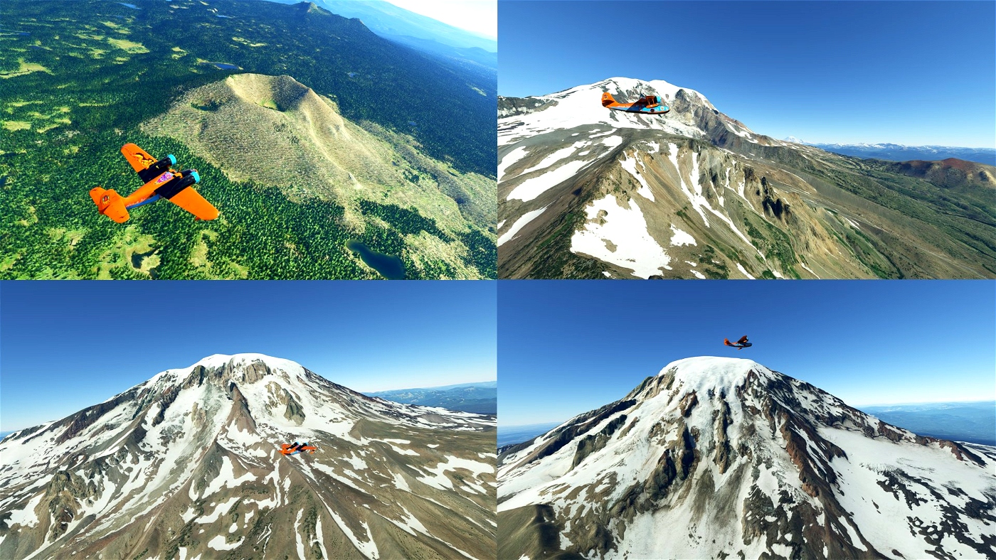
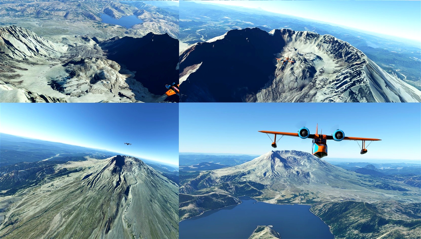
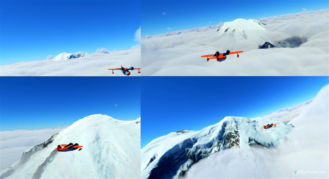
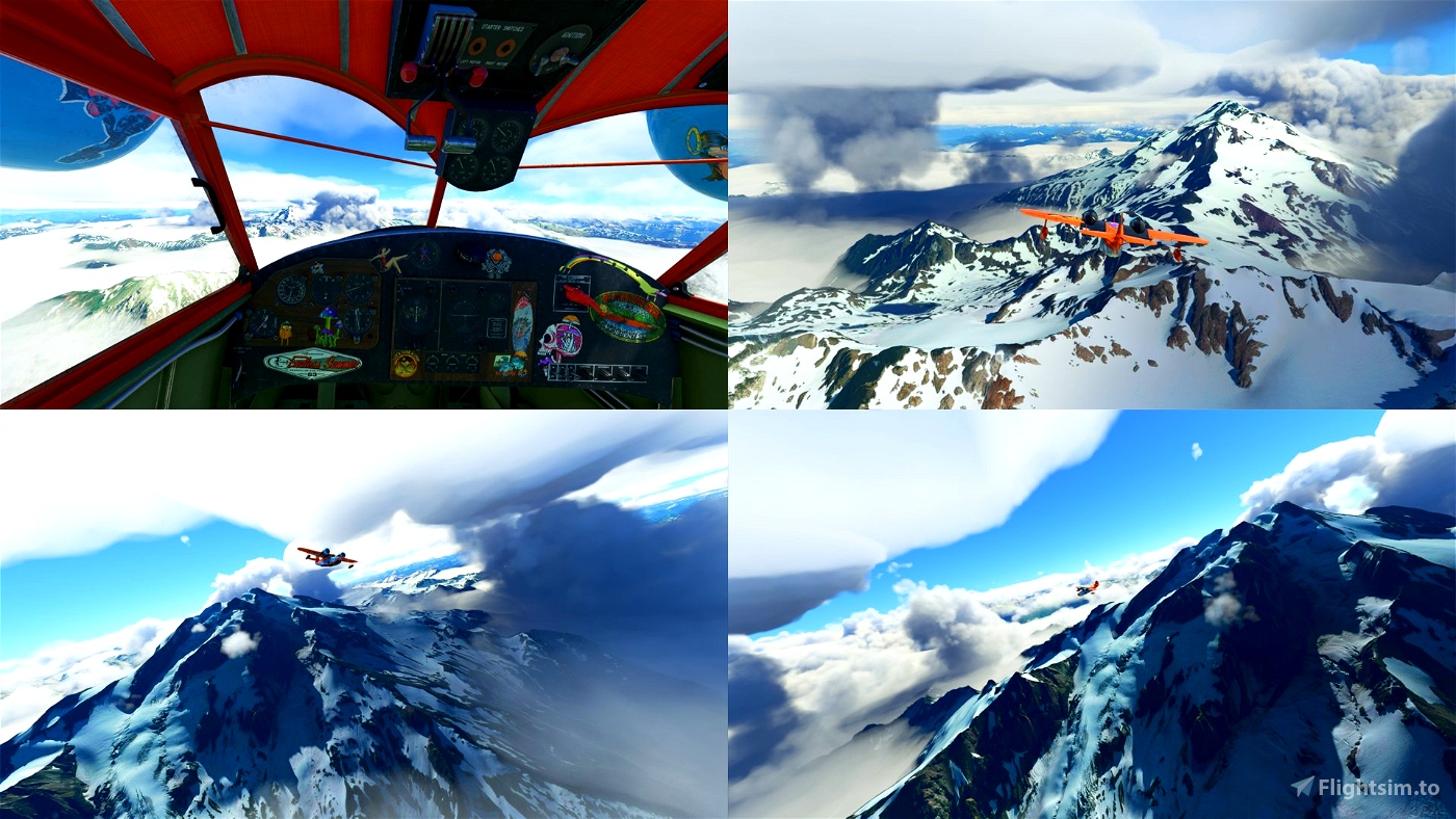
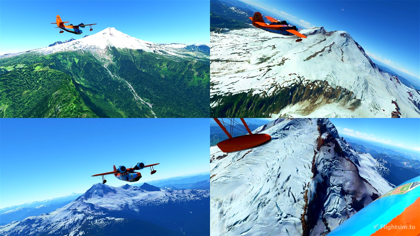
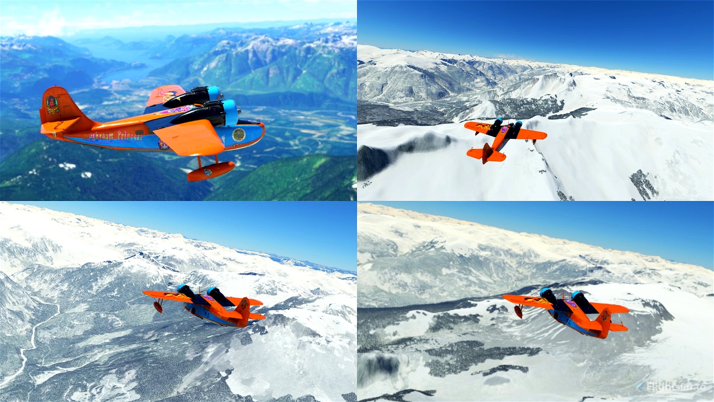
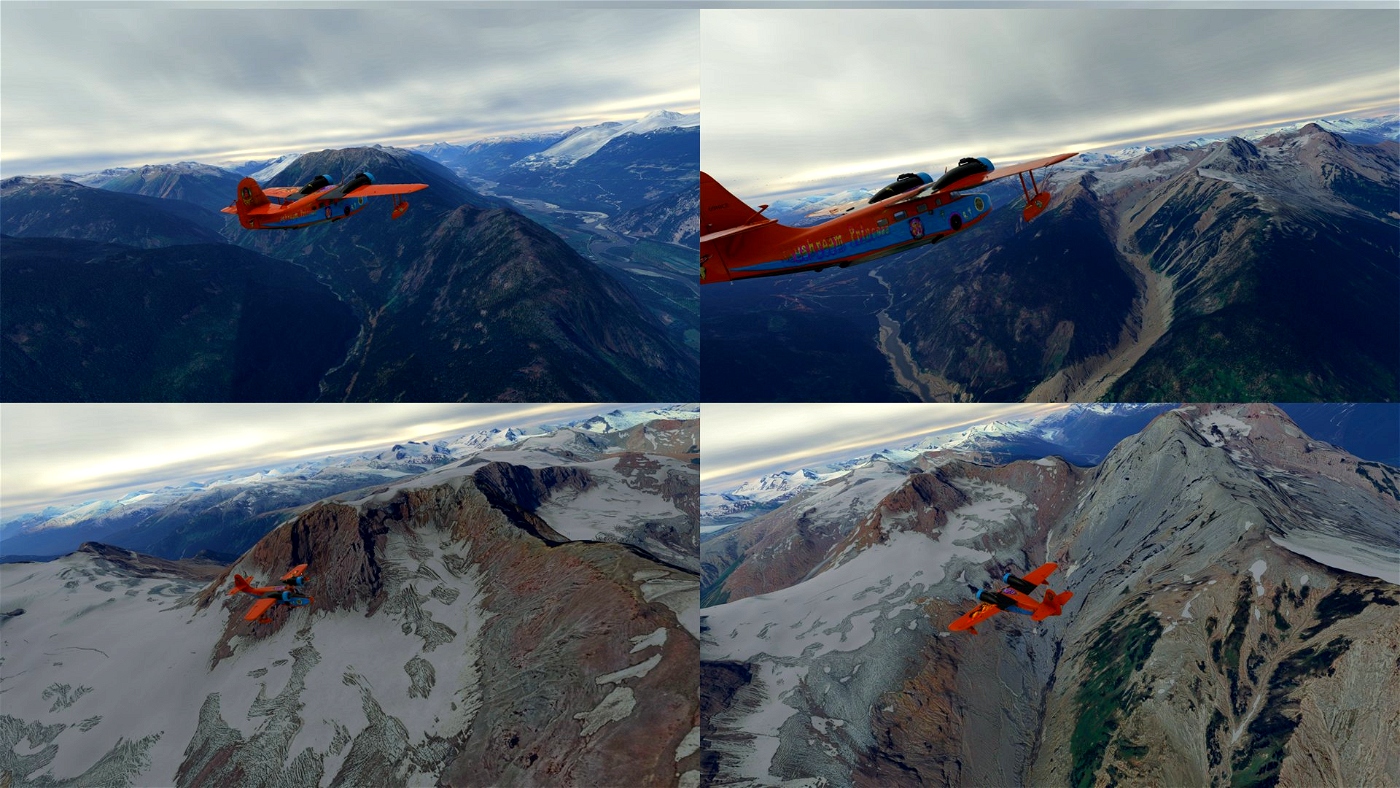
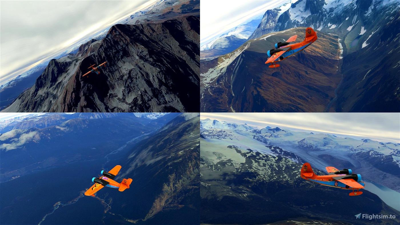
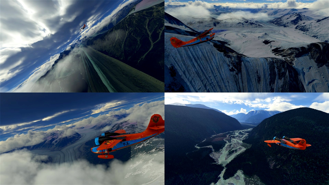
This is a flight-plan that follows most of the Cascade Volcanoes from California all the way up to British Columbia.
No airport are chosen on route so you’ll have to adjust flight-plan to your pace and add airports to the plan. Expect to travel more than 2000km for the whole trip.
Any aeroplane should do it.
North of the Vancouver the Bing data is not great. I strongly recommend using MSFS2020 Map Enhancement
All the info for the flight-plan I got on Wikipedia. https://en.wikipedia.org/wiki/Cascade_Volcanoes

 drStation

